CLICK HERE TO RETURN TO THE OLD MAPS OF HAMPSHIRE
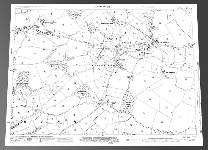
Stroud 1932
Size: 23 x 16 inches
Scale: 14 inches to the mile
Type: complete facsimile, flat sheet
PRICE: £7.99
Showing the Stroud and Stroud Common area. Rothercoombe Farm is in the north of the map, with Stroud & Stroud Common over most of the northeast quadrant. Stroud Bridge is in the centre of the southern half of the map. Langrish Manor Farm is in the northwest corner.