CLICK HERE TO RETURN TO THE OLD MAPS OF WORCESTERSHIRE
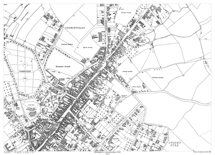
Bromsgrove (north) 1926
Size: 21.5 x 15.25 inches
Scale: 28 inches to the mile
Type: reproduction, flat sheet
PRICE: £7.99
Showing the area from the Hop Pole Inn on the Birmingham Road in the north to the junction of New Road with College Road in the south, and from Church Road in the west to beyond Stony Hill in the east.