OLD TOWNS BOOKS & MAPS
Old Ordnance Survey Maps of Leicestershire
Essentials for Local Historians, Genealogists & Family Historians
BACK TO LEICESTERSHIRE MAPS >
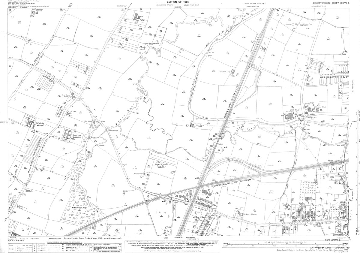
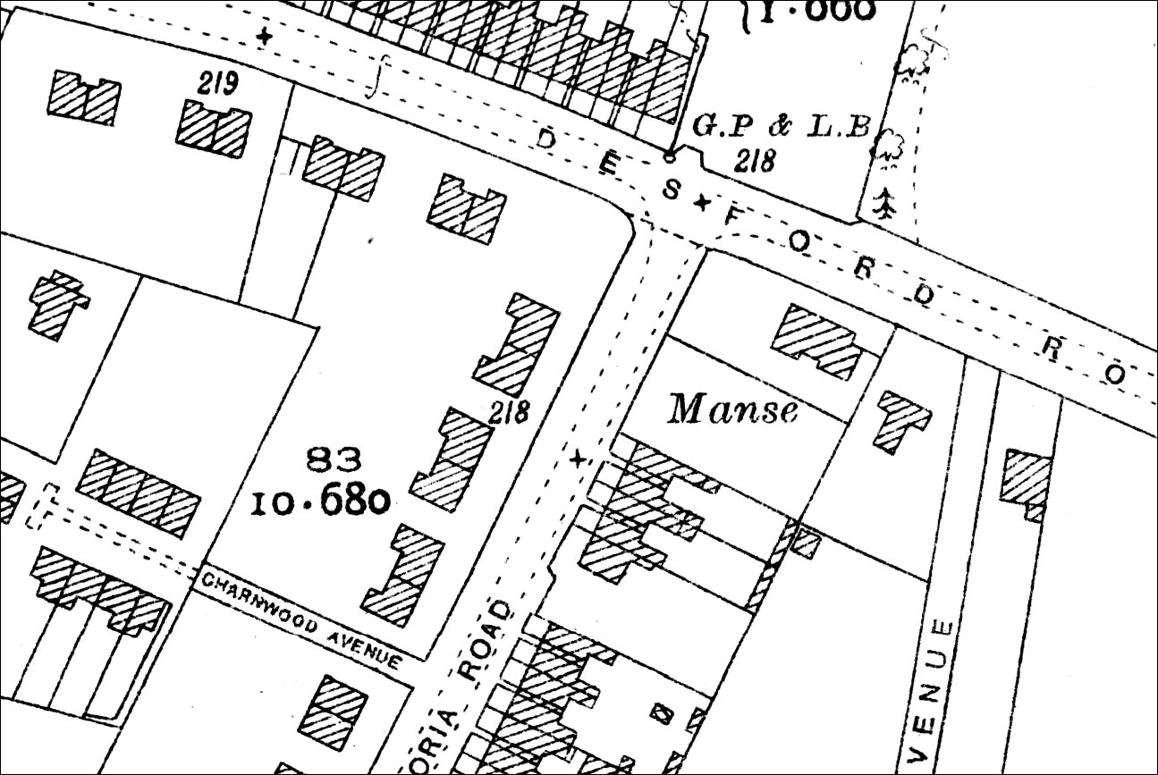
THIS IS SHEET XXXVII. 9. 1930 (37-9-1930) - SEE THE LARGE PICTURES BELOW
Blaby (northwest), Narborough (northeast), Whetstone (north)
LARGE FORMAT PRINT : £13.99 + £2.50 P&P
A large, brand new modern reprint
Printed to approx. 82% of original size
On 120gsm matt white coated paper
PRINTED AREA: 83 x 58 cm (33 x 23 inches)
A FLAT-SHEET MAP (not folded)
SENT NEXT WORKING DAY ROLLED IN A CARDBOARD TUBE


