Purchase as a printed map £7.99 per map Maximum £2.50 postage fee world-wide Size: 21.5 x 15.25 inches Scale: 28 inches to the mile Type: reproduction |
CLICK HERE TO RETURN TO THE OLD MAPS OF WARWICKSHIRE
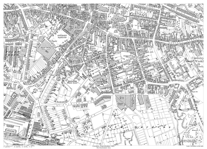
Coventry 1905 - Cheylesmore area
Showing the area from Holy Trinity Church in the north to Park Gardens in the south, and from Starley Road in the west to London Road in the east.
Purchase as a printed map
£7.99 per map
Maximum £2.50 postage fee world-wide
Size: 21.5 x 15.25 inches
Scale: 28 inches to the mile
Type: reproduction
